Subsea Cable and
Pipeline
Mahakarya Geo Survey is a full-survey service company, encompassing activities such as seabed surveys, preparation, installation, repair, and maintenance.
MGS provides a broad spectrum of services to assist the telecommunications industry’s submarine cable systems. Our cutting-edge marine site characterization, employing the most compact and up-to-date survey technology, caters to the increasing need for subsea cable and pipeline installation in Indonesia. We collaborate with top-tier enterprises to deliver high-caliber cable laying vessels and ROVs, enhancing our capability to operate with greater efficiency and efficacy in deeper waters.
Desktop Study
Secondary research involves the process of summarizing, compiling, and/or synthesizing pre-existing research in a particular field, as well as evaluating survey routes for subsea cable and pipeline installations.
Pre-Lay Survey
As part of our services, Mahakarya Geo Survey offers seabed debris removal along cable routes. This essential task is typically carried out as a preliminary step before the installation of subsea cables or pipelines.
Methods
 |
Pre-Lay Grapnel Run (PLGR) |
 |
Pre-Lay Clearance Route (PLCR) |
Subsea Cable Installation and Maintenance
Through strategic partnerships, Mahakarya Geo Survey offers top-quality subsea cable installation and maintenance services that utilize advanced techniques and equipment, ensuring that all projects are completed with the utmost professionalism and efficiency.
Methods
 |
Submarine Survey using Remotely Operation Vehicle (ROV) |
 |
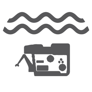
Metocean Monitoring |
 |
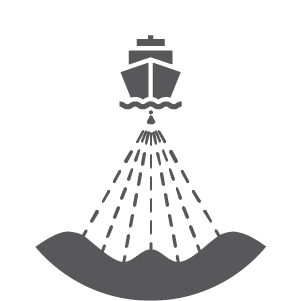
Installation and Maintenance using integrated Cable Vessel |
Marine Survey
In the telecommunications industry, conducting offshore surveys to determine the optimal cable and pipeline routes is a crucial aspect of the entire installation project. By performing marine surveys, potential hazards that could impede the installation process can be identified and addressed.
Methods
 |
Single Beam Echo Sounder |
 |
Multi Beam Echo Sounder |
 |
Side Scan Sonar |
 |
Sub Bottom Profiler |
 |
Water Probe |
 |
Diver |
Shore End Survey
The shore end refers to the section of the cable that is installed in the area where the marine survey vessels cannot operate, as it is in the transition zone between the land and sea.
Methods
 |
Terrestrial Topographic |
 |
Aerial Topographic |
 |
Aerial Photogrammetry |