Geohazard Survey and Mitigation
We provide geohazard services for land and marine environments, including identification, analysis, assessment, mitigation, and engineering solutions.
Mahakarya Geo Survey recognizes the significance of minimizing geohazard impact to uphold cost-effectiveness, safety, and environmental protection. Our team comprises top experts in the industry to guarantee optimum outcomes for our clients.
Geological Fault Structure Identification
Mahakarya Geo Survey and Metatek Group have collaborated to introduce eFTG (Enhanced Full Tensor Gradiometry), a novel technique for detecting and mapping active faults that pose a seismic hazard.
Methods
 |
Enhanced Full Tensor Gradiometry (eFTG and Magnetics) |
 |
LiDAR Survey |
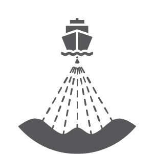
Marine Geohazard Assessment
Geohazards pose a substantial threat to marine development and construction projects, affecting multiple stages, including design, construction, operation, and decommissioning. These hazards can arise from natural occurrences like tsunamis, earthquakes, landslides, and volcanic eruptions, as well as human activities such as dredging, drilling, and blasting, and anthropogenic events like oil spills.
Methods
 |
2D High Resolution Marine Seismic |
 |
3D High Resolution Marine Seismic |
 |
Sub Bottom Profiler |
 |
Side Scan Sonar |
 |
Magnetometer |
 |
Single Beam Echosounder |
 |
Multi Beam Echosounder |
 |
Metocean Survey and Monitoring |