Port Development
We support Indonesia’s goal to be a global maritime hub by developing port and maritime infrastructure, with our services enhancing Indonesia’s maritime capabilities and economic growth.
Mahakarya Geo Survey provides an extensive range of geo-survey services that encompass geophysical, geotechnical, hydrographic, and metocean surveys, all of which are critical in supporting the development of ports, a vital component of the maritime economy. Our surveys offer valuable information on coastal conditions, ensuring that port development plans and designs align with geological, meteorological, and oceanographic parameters.
Jetty Support Construction
We offer a complete range of services to support your jetty construction projects, starting from feasibility studies to hazard surveys. Our team of experts provides professional guidance throughout the entire process to ensure the success of your project.
Methods
 |
Single Beam Echo Sounder |
 |
Multi Beam Echo Sounder |
 |
Side Scan Sonar |
 |
Sub Bottom Profiler |
 |
Terrestrial Topographic |
 |
Aerial Topographic |
 |
Aerial Photogrammetry |
 |
Geotechnical Investigation |
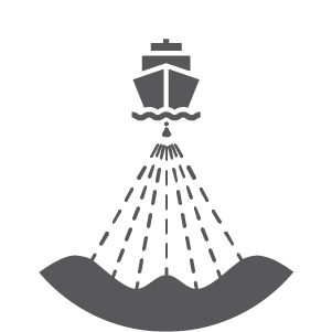
Dredging Support
We provide dredging support services through hydrographic and marine geophysical surveys, enabling visualization and interpretation of seabed conditions prior to dredging activities.
Methods
|
Single Beam Echo Sounder |
|
Multi Beam Echo Sounder |
|
Side Scan Sonar |
|
Sub Bottom Profiler |
Metocean Study for Structure Design
Accurate metocean design criteria are essential for ensuring the safe and reliable design and operation of nearshore facilities. Our team provides expert design criteria and statistical approaches for structure design, construction specification, transportation, and installation.
Methods
 |
ADCP (Acoustic Doppler Current Profiler) |
 |
AWAC (Acoustic Waves and Current) |
 |
Weather Station |
 |
Tide Gauge |
 |
CTD (Conductivity, Temperature, Depth) |