Our Services
Mahakarya Geo Survey has consistently delivered value through innovative solutions, excellence, effective and efficient operation and committed to contribute beyond the market we serve.
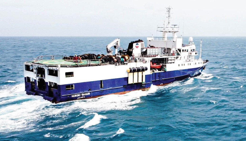
2D, 3D, and High-Res Marine Seismic Survey
Seismic surveys have become one of many primary tools for oil and gas companies throughout the years.
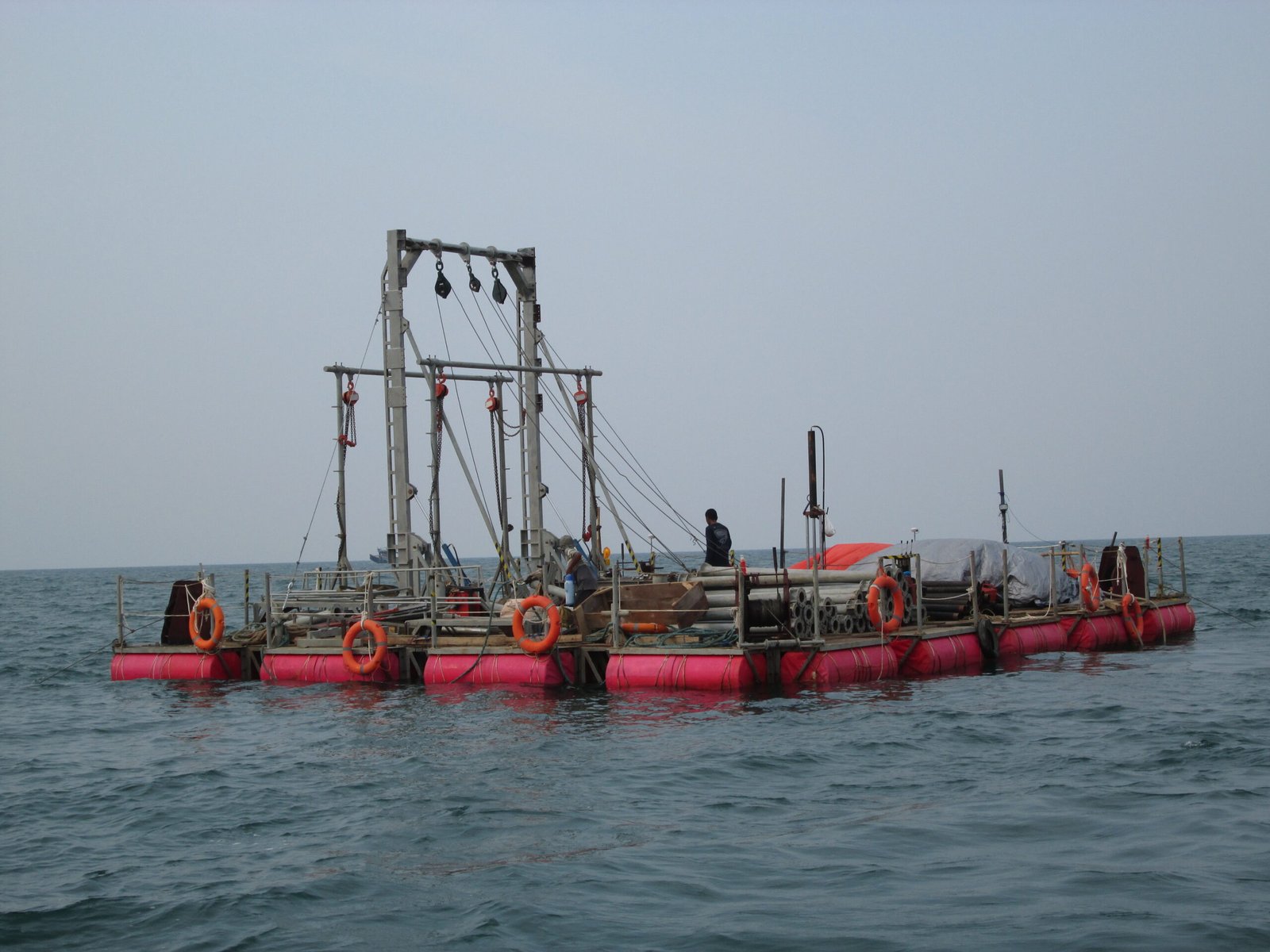
Geotechnical Services
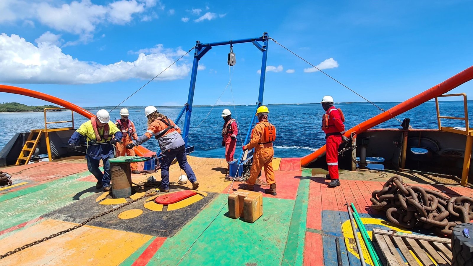
Mahakarya Geo Survey provides variety of geotechnical survey methods and soil investigations which support client’s engineering design requirement.
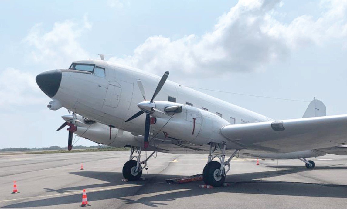
Airborne Gradiometry
Mahakarya Geo Survey utilizes the latest airborne gradiometry gravity technology to provide optimum data acquisition to support Airborne eFTG survey…
Metocean Services
Mahakarya Geo Survey assist clients to plan their operation and provide a better understanding of the environment for engineering design, by providing an excellent…
Hydrographic Services
Engineering decision is the most important element from a development of a facility. It should made with availability of best data and information about physical…
Land and Aerial Survey
Engineering decision is the most important element from a development of a facility. It should made with availability of best data and information about physical…
